Haley & Aldrich plans more resilient transportation systems in coastal communities
15
coastal counties included
297
miles of state roadway assessed
4
nature-based solutions, resilience project concepts prioritized
Summary
- WSDOT needed a consistent way to understand how future coastal hazards could affect roadways, bridges, culverts, and fish-passage infrastructure.
- Our team used climate projections, coastal hazard information, and other data to build coastal hazards layers and compare risks under future conditions.
- We identified areas of highest risk and delivered a web tool to guide planning.
- We worked with partner state agencies to develop a framework to prioritize nature-based resilience projects with the objective of providing multiple benefits.
Client challange
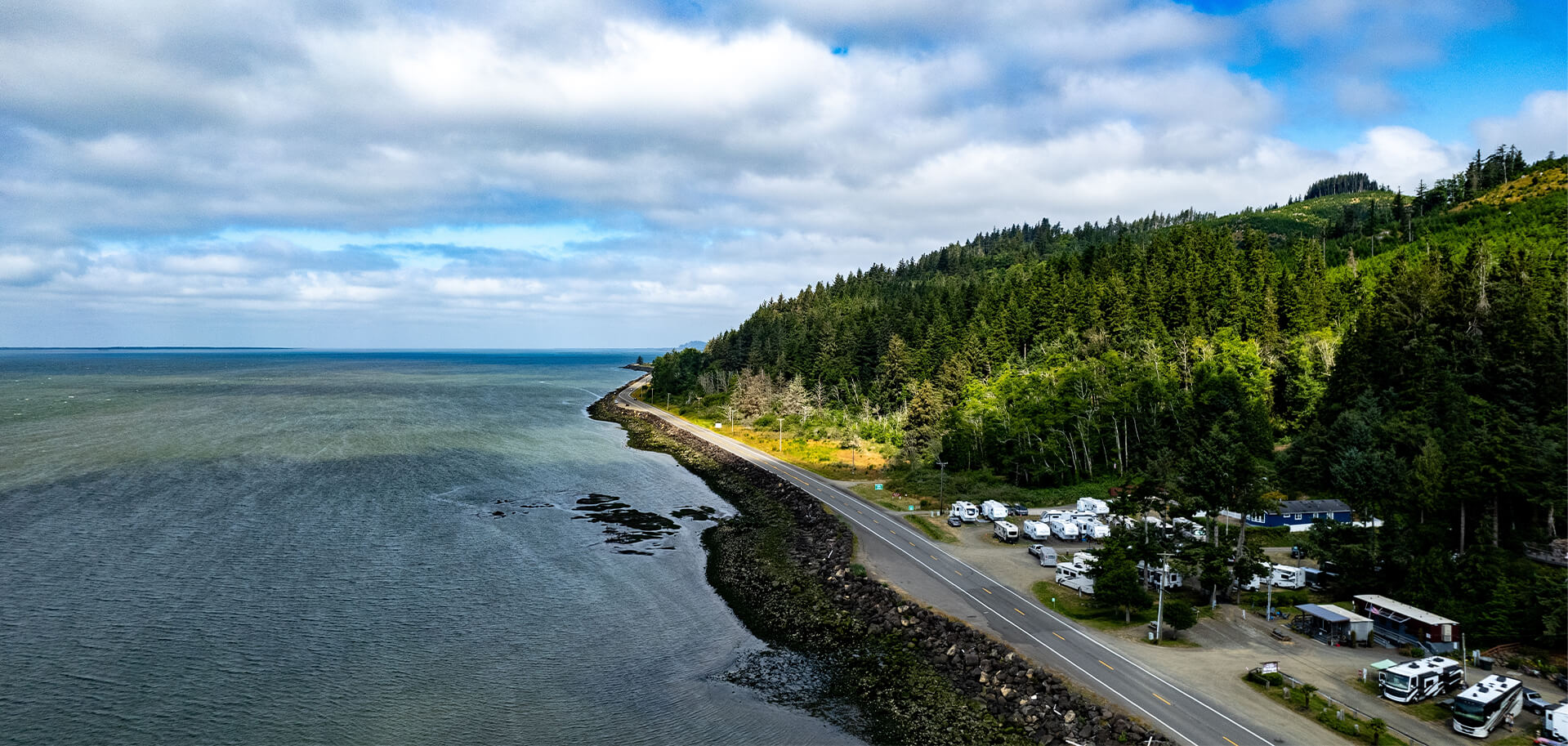
Sea level rise, storm surge, coastal flooding, and coastal erosion threaten transportation connections, coastal habitats, and communities across Washington state. The Washington State Department of Transportation (WSDOT) needed a consistent way to understand how future coastal hazards could affect roadways, bridges, culverts, and fish-passage infrastructure.
The department turned to Haley & Aldrich to guide its approach because of our comprehensive understanding of coastal hazards and risks and our experience assessing infrastructure resilience in the region.
Our approach
Haley & Aldrich used a structured, risk-based approach aligned with Federal Highway Administration resilience guidance. Our team combined climate projections, coastal hazard information, and transportation asset data to compare risks under future conditions.
Geospatial analysis helped identify higher-risk locations across 15 coastal counties. Haley & Aldrich used the findings to prioritize four project areas — two on the Pacific Coast and two in the Puget Sound region — for joint investment in nature-based resilience by three state agencies. This first-of-its-kind collaboration among the agencies identified locations where transportation resilience and ecological restoration priorities overlap in fish passage, feasibility, and community and tribal input.
Our team also developed a web-based visualization tool that enables agencies, tribes, communities, and other partners to review vulnerabilities, compare priority areas, evaluate resilience concepts, and document planning decisions.
Value delivered
- Compared conditions across coastal counties to determine areas of highest risk
- Prioritized four nature-based resilience concepts to build more-resilient communities
- Developed a web-based visualization tool to make planning and documentation easier

Senior Associate, Climate Resilience Specialist

Senior Resilience Project Manager

Related Projects
San Diego Airport shows sustainability leadership through water stewardship plan
Forward-thinking geotechnical expertise helps protect New York hospital from flooding
Our climate resilience plan helps developer prioritize efforts to protect tenants and…
Creative geotechnical engineering brings sweeping NYC views to Governors Island park
Haley & Aldrich develops large-scale resilience action plan on tight timeline
Haley & Aldrich helps large manufacturer plan for massive natural disaster
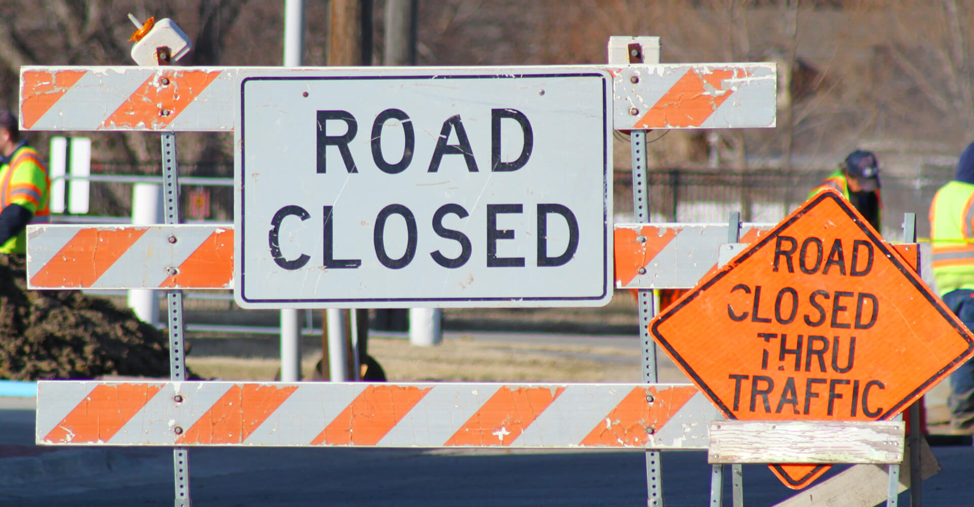
Haley & Aldrich helps Portland, Oregon, metro region plan for more resilient…
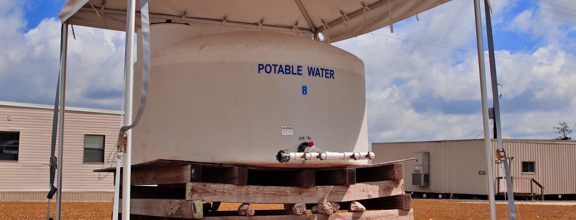
Haley & Aldrich develops a plan to keep drinking water flowing after…
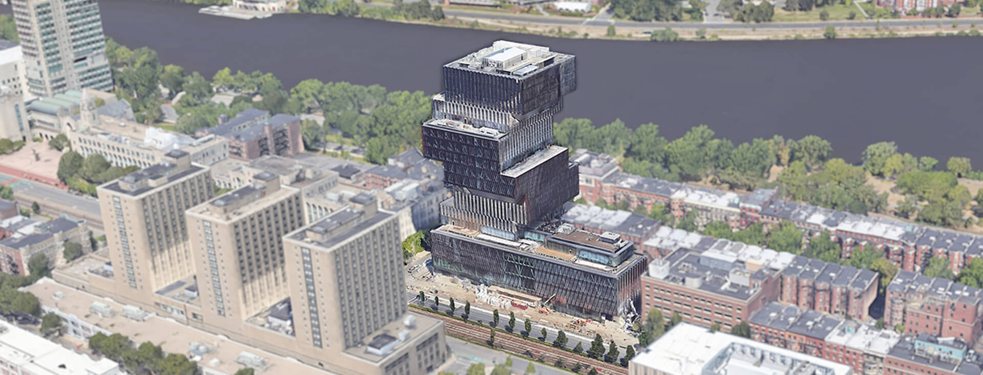
Geothermal system design and construction enables Boston’s largest fossil-fuel-free building
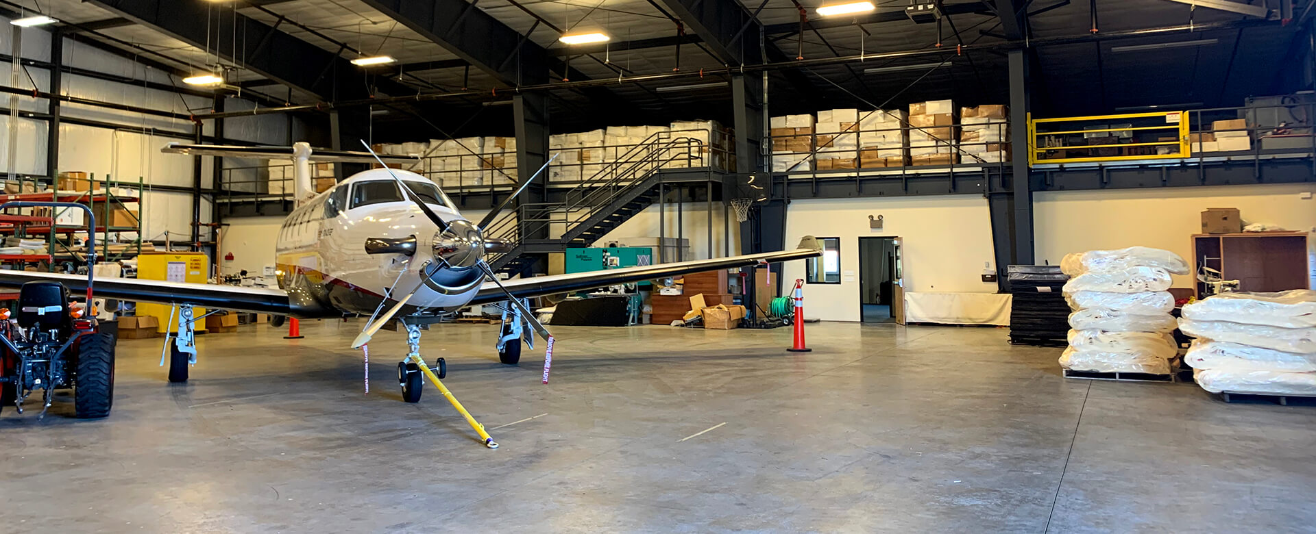
Resilience team assesses Oregon airports to plan for recovery from earthquakes
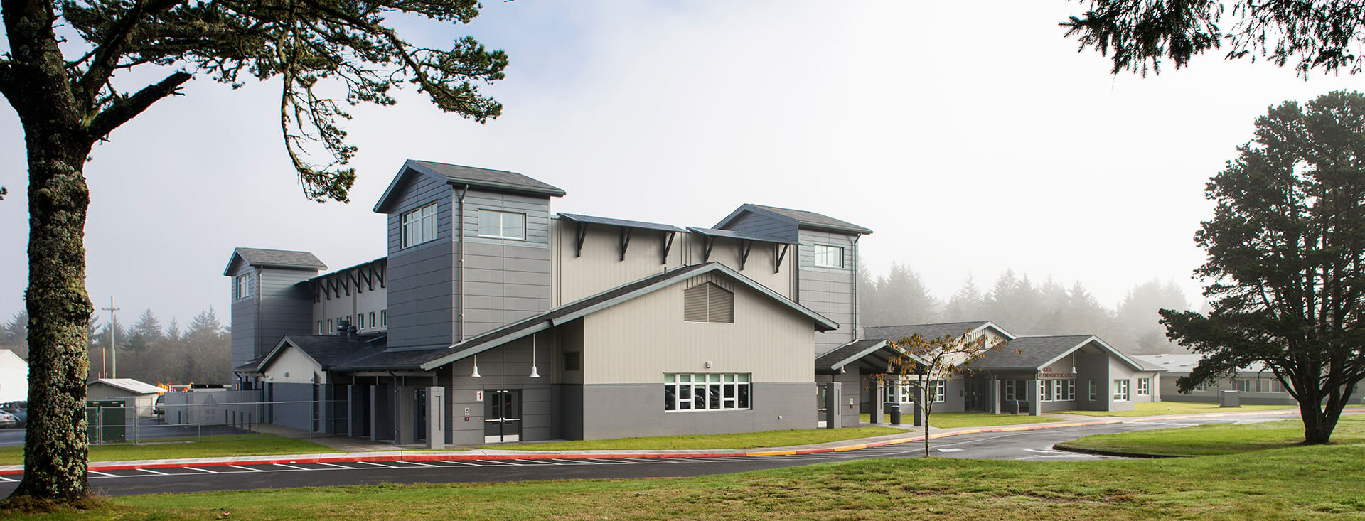
Engineering team delivers new elementary school with Western Hemisphere’s first vertical tsunami…