Haley & Aldrich helps Oregon identify communities at risk of isolation after a major earthquake
Summary
- The Oregon Department of Human Services needed to identify communities that could be cut off from emergency services and supplies after a major Cascadia subduction zone earthquake.
- Haley & Aldrich analyzed Oregon Department of Transportation highways and the state’s geohazards data to define 31 of these areas, called seismic islands.
- State and local governments in Oregon are now using this information to inform emergency response and transportation planning.
Client challenge
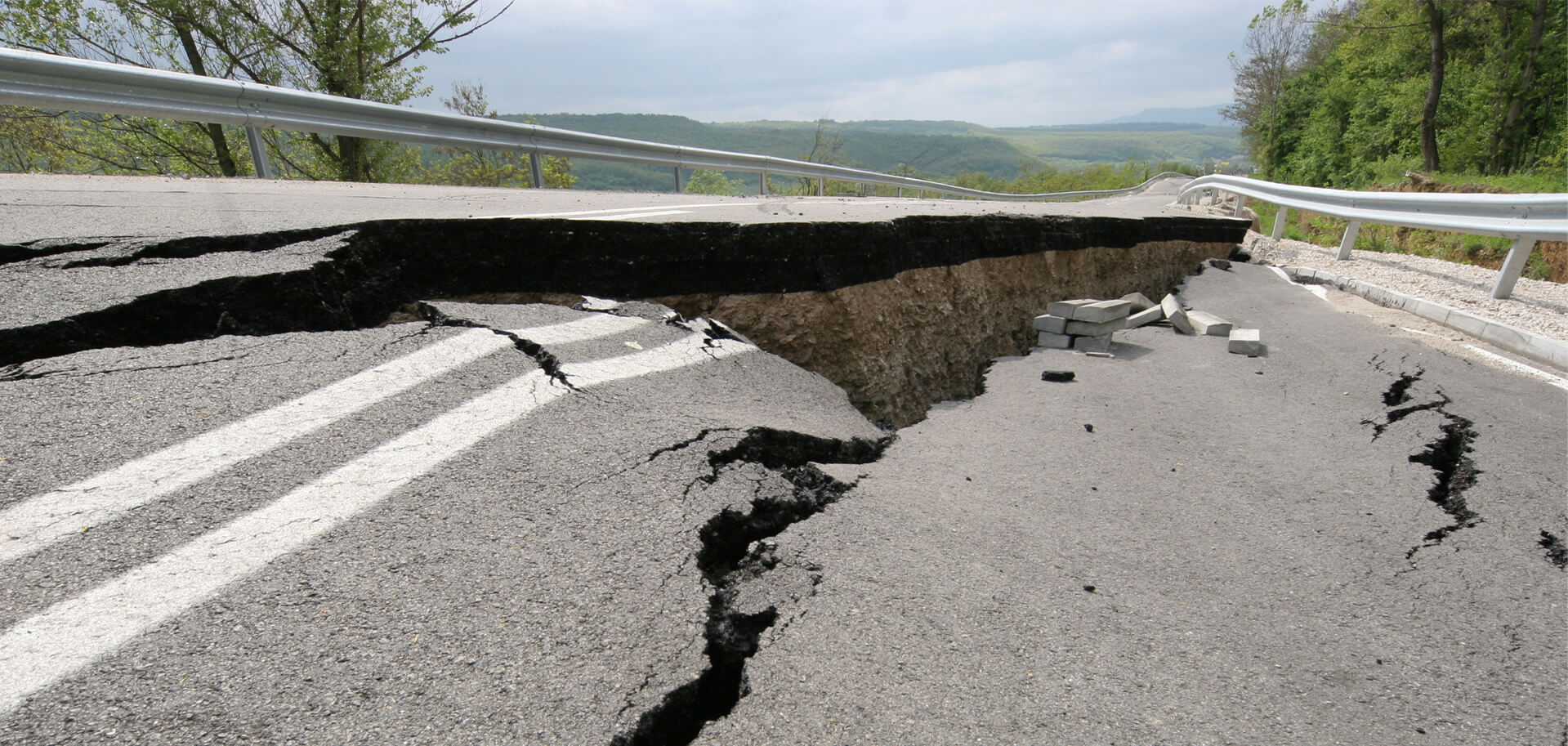
A major Cascadia subduction zone (CSZ) earthquake could damage roads and bridges across Oregon, leaving some communities cut off from emergency services and supplies. The Oregon Department of Human Services Office of Resilience and Emergency Management (OREM) needed to identify which areas were likely to be cut off so that OREM could plan the statewide distribution of emergency mass care resources (food, water, shelter, and medical supplies).
The department worked with Haley & Aldrich to identify statewide seismic islands because of our extensive history of working on seismic resilience planning in the state of Oregon and specifically because of our earthquake engineering expertise and our knowledge of transportation infrastructure systems.
Our approach
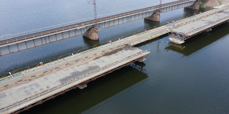
Haley & Aldrich combined transportation and bridge information with data on tsunami inundation, liquefaction, landslides, and ground shaking. This analysis identified potential breaks in the statewide transportation network that are likely to result from a CSZ earthquake and tsunami in Oregon.
We identified 31 seismic islands — areas that could lose road access after a major earthquake — and then worked with eight counties and two tribes to pilot test and refine the results based on their local knowledge. As a result, a few of the island boundaries were adjusted both on the coast and in Central Oregon.
State, regional, and local organizations are using the identification of these seismic islands to support emergency response and transportation planning. Our work also identified opportunities to apply the seismic islanding approach to local roads, critical infrastructure, and communities with limited transportation alternatives.
Value delivered
- Defined seismic islands to inform emergency response and transportation planning
- Supported improving access to emergency services for Oregon residents
- Connected with communities at risk to bring their voices into the decision-making process with state leaders

Senior Associate, Climate Resilience Specialist

Senior Resilience Project Manager

Related Projects
Our expertise helps reclaim a former shipyard to construct LEED Gold Certified…

Creative geotechnical solutions connect campus to downtown Philadelphia
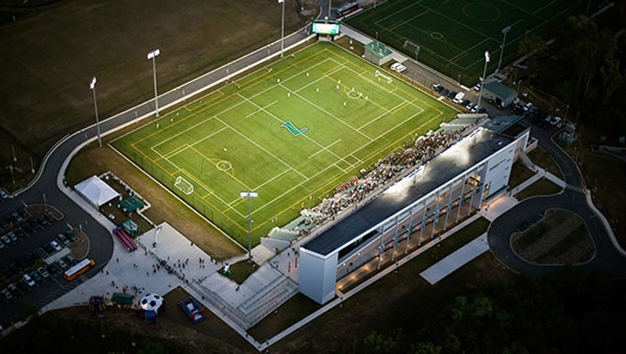
Haley & Aldrich helps a college overcome community opposition to transform landfill…
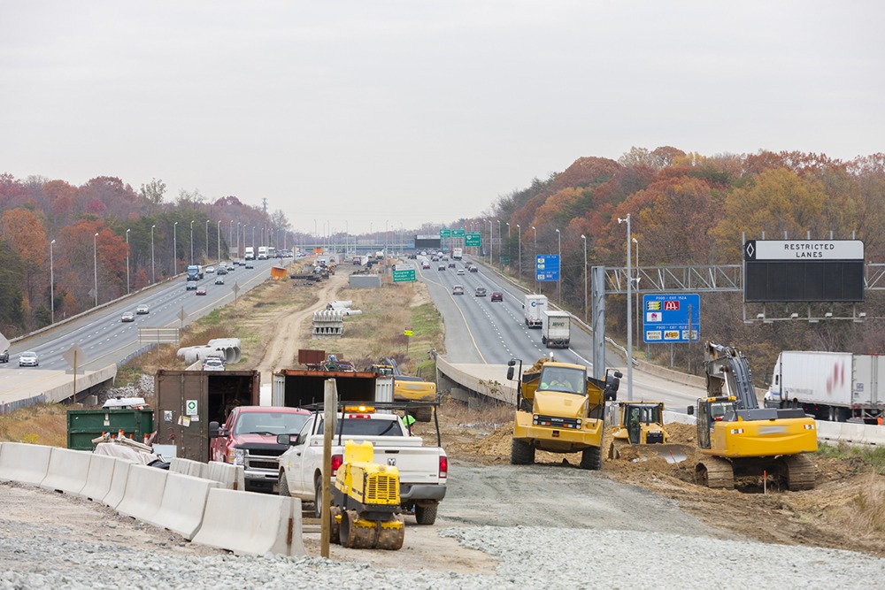
Our approach helps client reduce costs and complete pre-construction planning in record…

San Diego Airport shows sustainability leadership through water stewardship plan
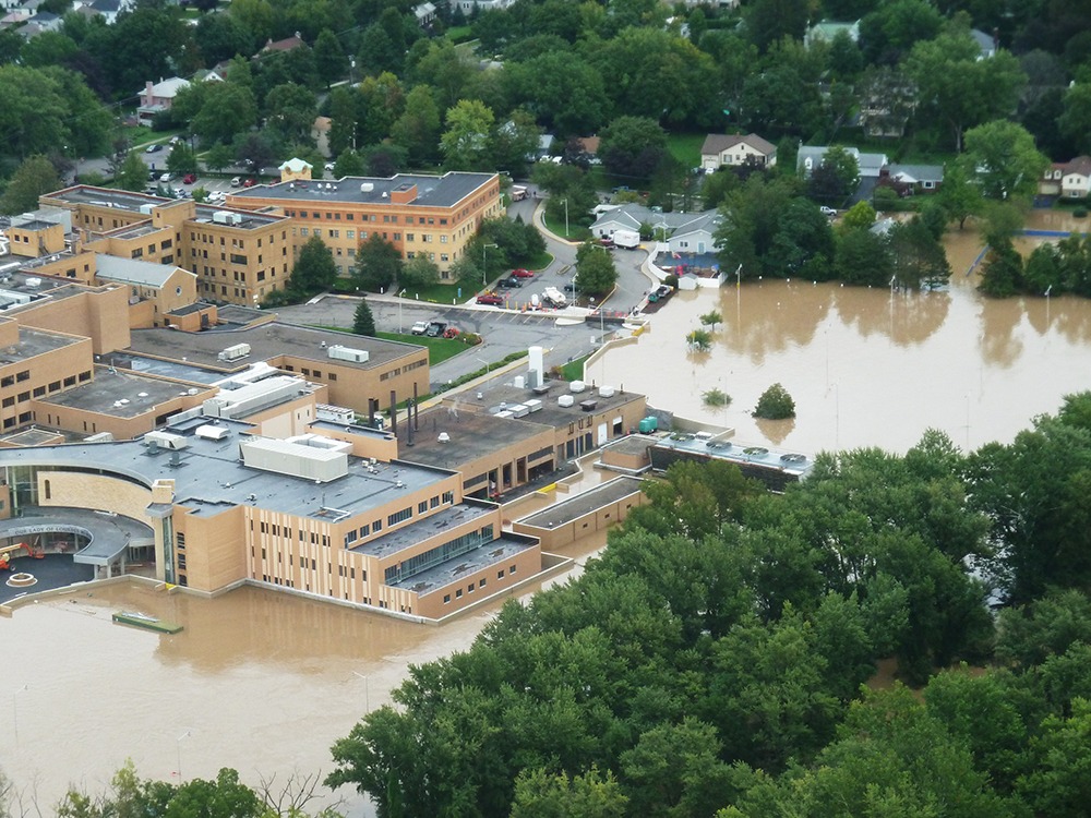
Forward-thinking geotechnical expertise helps protect New York hospital from flooding

Innovative planning turns stubborn landfill into profitable regional asset
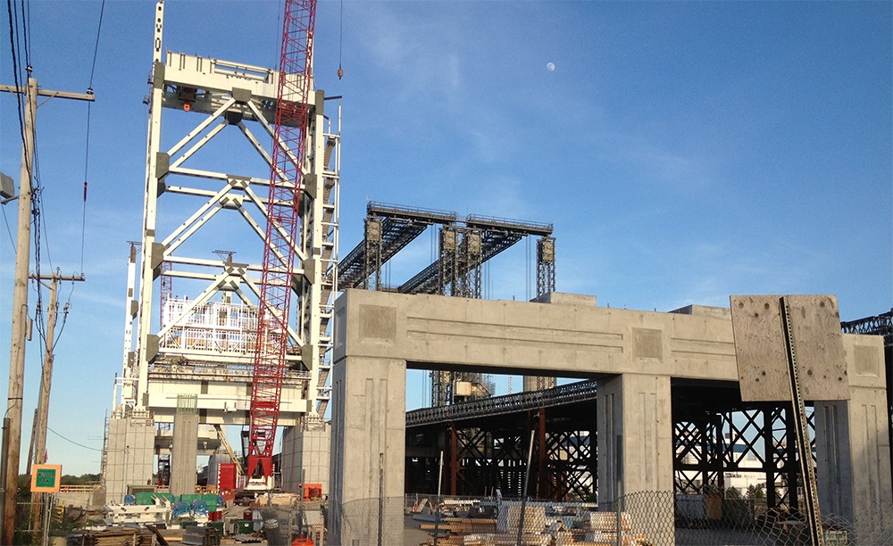
Our geotechnical experts design enduring bridge foundation under tight schedule

Federal Realty Investment Trust saved millions on development project with our first-of-its-kind…

Geothermal design and innovative approach allow for many benefits at the Portland…
We help NYSDOT reduce construction time on high-profile Kosciuszko Bridge design-build project